
Time & Tide


15 June 2026
The North Atlantic Arc Home
|
June is bustin' out all over....... |
| S | M | T | W | T | F | S |
| 3 | 4 | 5 | 6 | |||
| 7 | 8 | 9 | 10 | 11 | 12 | 13 |
| 14 | 15 | 16 | 17 | 18 | 19 | 20 |
| 21 | 22 | 23 | 24 | 25 | 26 | 27 |

|
|
Monday 15 June 2026--What to do with a full day in Alma? The answer in the past has been to go see the Hopewell Rocks, but I've seen them a dozen times, at least, and don't need to see them again. The other obvious answer is to visit Fundy National Park. I need to do some research on what would be worthwhile there, that I would be capable of doing. I decide to make another attempt to see the Forty Five River Covered Bridge, which Ron and I missed last year because of a road closure. Head north out of Alma and turn onto Forty Five Road; when I reach the fork, I see the orange Detour sign is gone, but there is a white "Road Closed" sign that makes me think that whatever reason the road was closed temporarily for last year, is now permanent. I take the fork to New Ireland again, then turn left toward Teahans Corner, thinking I might approach the bridge from the north. Straight ahead is Shepody Road, also marked closed; I'd thought I might take that along the northern edge of the national park, and return to Alma via route 114. Scratch that. It's just a mile and a half or so from Teahans Corner to the bridge. The road is fairly rough, as are all the roads I've been on so far. At one point, there's a ridge of rock that scrapes lightly on the undercarriage of my car. I cross the bridge, which shows no sign of having been closed recently, and park just past so I can get a few photos. The river is pretty flat to the upstream side, but drops into a gorge below. It's possible, I guess, to get down into the gorge, where some good photos of the falls beneath the bridge could be had. It looks a bit too scrambly for me. I do the best I can to get shots from the road. Continuing on, I come to a spot where the road obviously had been washed out recently, and subsequently filled in with gravel. This is evidently the reason for last year's detour. It occurs to me that all of these rough dirt roads are legally closed for liability reasons; the province of New Brunswick doesn't want to hear about my scraped undercarriage. Proceed at your own risk. I emerge onto the main road where I'd turned off at the start. Plan B is to drive up to Riverside Albert to photograph the Sawmill Creek Covered Bridge. From there I drive across the meadows to see the Anderson Hollow Lighthouse. It's not clear to me where this light originally stood--it's been moved around a lot, serving a while as someone's lawn ornament, and then as a shop in Riverside Albert, before ending up here by the dam on the Shepody River. Construction work on the dam inhibits photographic efforts. I follow the road around Marys Point, one I haven't been on before, rejoining route 915 and passing Cape Enrage and Waterside on my way back to Alma. I have dinner at the Alma Lobster Shop, and pints at Holy Whale. Next |
Around Alma
 |
Hang A Left
 |
New Ireland
 |
Teahans Corner
 |
Forty Five River Covered Bridge
 |
 |
Forty Five River Upstream & Downstream
 |
Sawmill Creek Covered Bridge
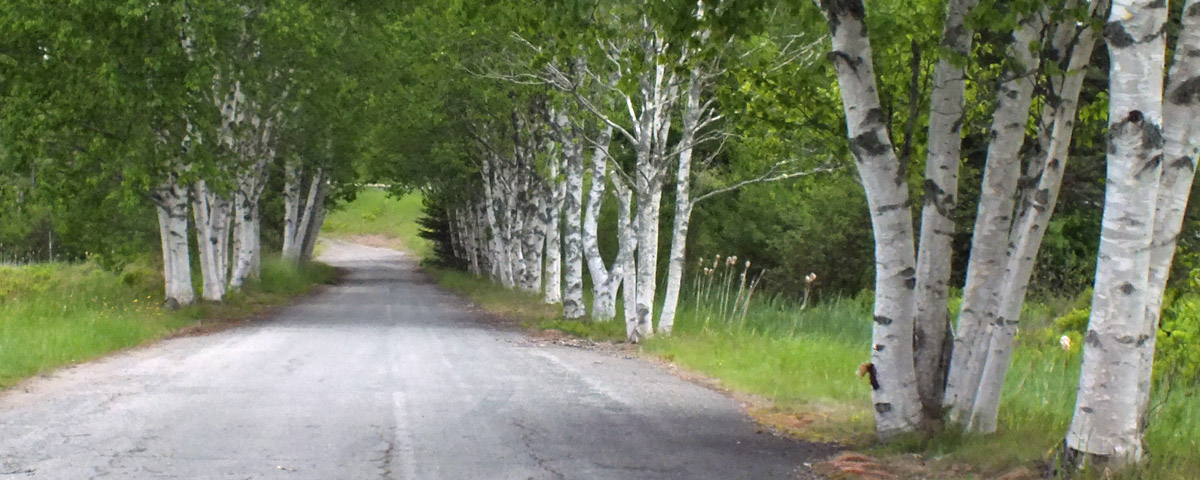 |
Old Route 114
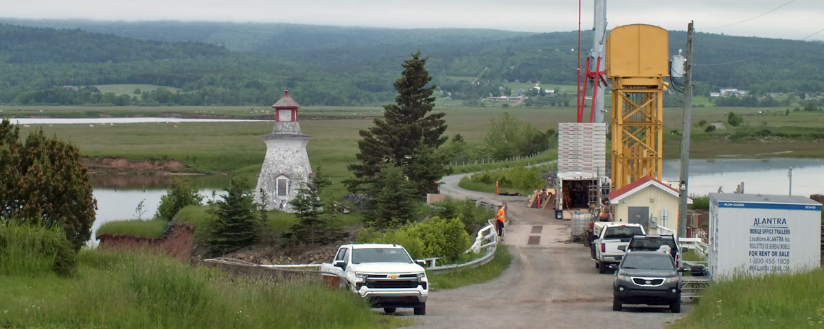 |
Anderson Hollow
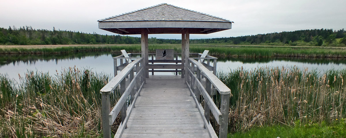 |
Lars Larsen Marsh
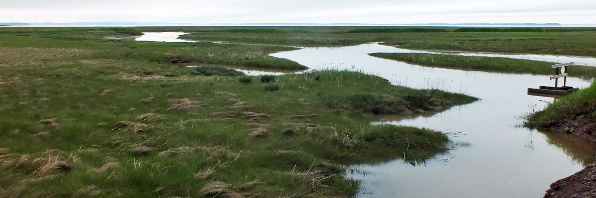 |
Meadow
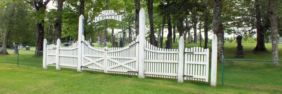 |
Bay View Cemetery
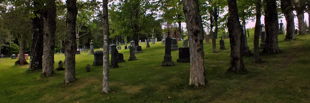 |
Bay View Cemetery
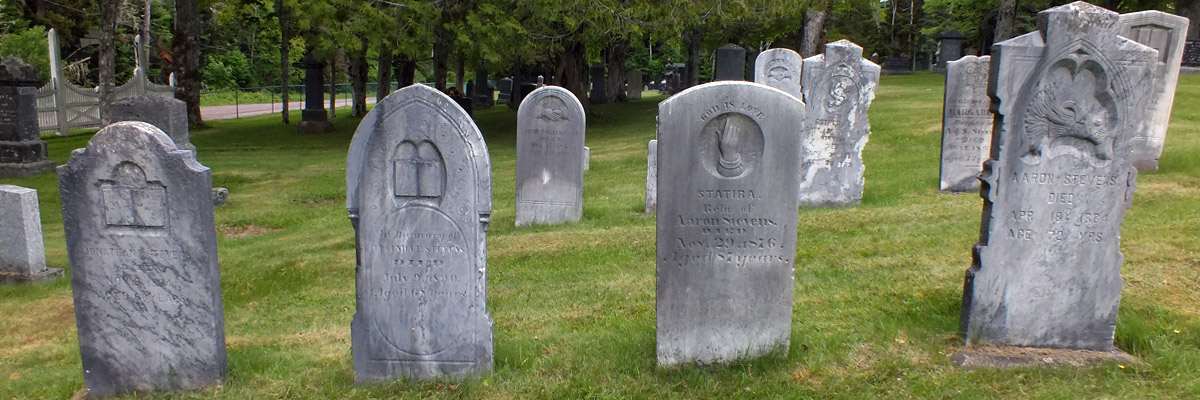 |
Bay View Cemetery
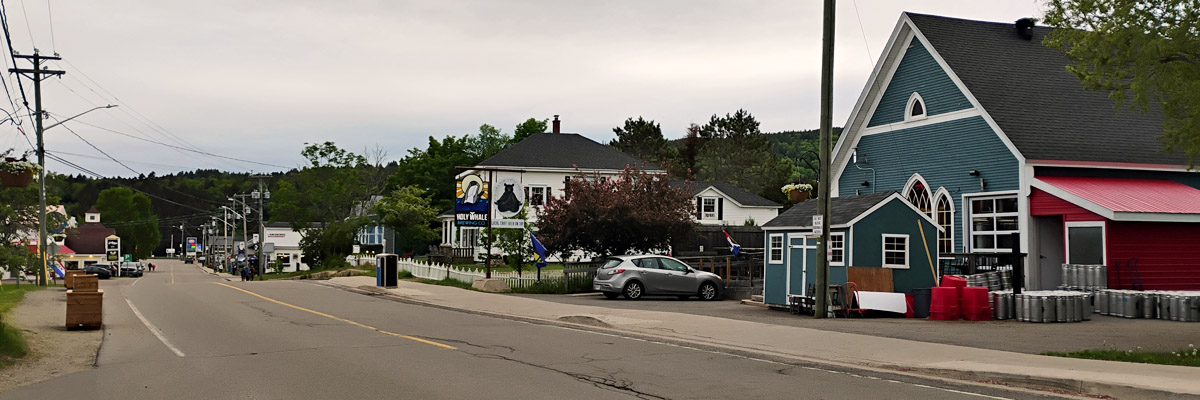 |
Main Street, Alma
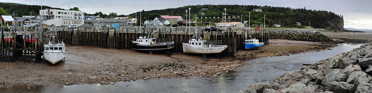 |
Alma
Next
|
Juneeeeeeeeeeeeeeeeeeeeeee |
| S | M | T | W | T | F | S |
| 3 | 4 | 5 | 6 | |||
| 7 | 8 | 9 | 10 | 11 | 12 | 13 |
| 14 | 15 | 16 | 17 | 18 | 19 | 20 |
| 21 | 22 | 23 | 24 | 25 | 26 | 27 |
The North Atlantic Arc Home
Mr Tattie Heid's Mileage
Results may vary
MrTattieHeid1954@gmail.com